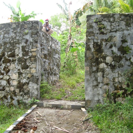
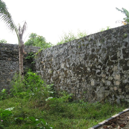
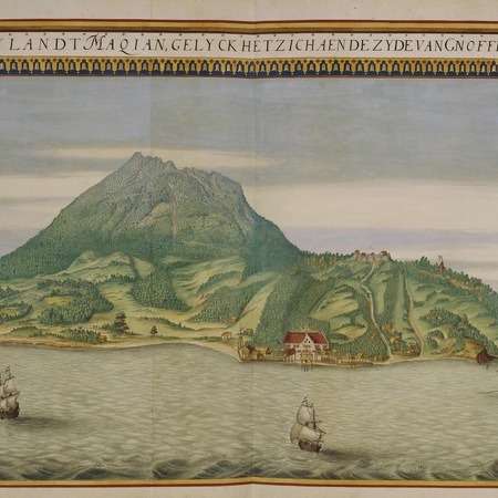
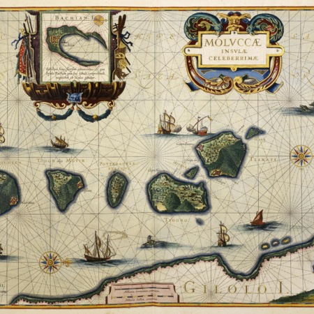
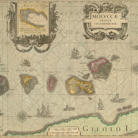
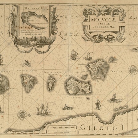
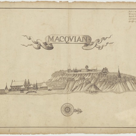
The fertile volcanic island Makian was among the most important suppliers of cloves of the Moluccas. In 1612 Governor-General Pieter Both (1610-1614) built a fort near the village of Ngofakiaha in the north of the island. The location of the new fort Mauritius on an 85 meter high hill makes it likely that it was built on the site of an earlier Portuguese or Spanish fort. The fort is square with four bastions of different shapes and sizes. The size of the garrison, commanded by a Lieutenant, depended on the conditions and ranged from 25 to 90 men. Because of the high location it was difficult to bring water, supplies, and trade goods from the beach to the fort. Jacques Le Febvre (Governor of the Moluccas, 1625-1629) therefore built a warehouse on the beach. In 1636 Governor Johan van Broekom (1635-1640) made the small fort Zeeburgh as protection of the water source and the warehouse on the beach. In 1632 a water cellar of 50 leggers (29.1000 liters) was built inside the fort.
The village Ngofakiaha is at the foot of the hill with the fort. In 1655 the VOC made an agreement with the Sultan of Ternate on the destruction of the clove trees on Makian. The enforcement of the treaty made it possible to reduce the number of forts and soldiers. Instead regular hongi-expeditions were made to destroy the young trees. In Ngofiakiah could be chosen between breaking down fort Mauritius or strengthen the warehouse. In 1659, the gentlemen XVII ordered a reduction of the size of the fort to one bastion and the strengthening of Zeeburgh. In 1662 the dilapidated fort was reduced in size. In 1699, the last post holders from the remaining bastion of fort Mauritius were recalled. In 2007 is the ruin of the fort are in the middle of a coconut plantatioon. Its walls and foundations are still clearly recognizable.