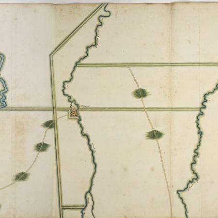
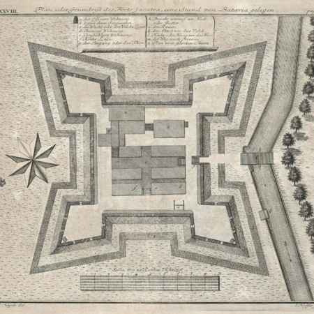
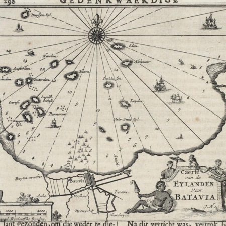
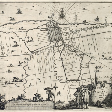
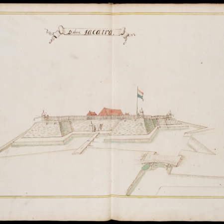
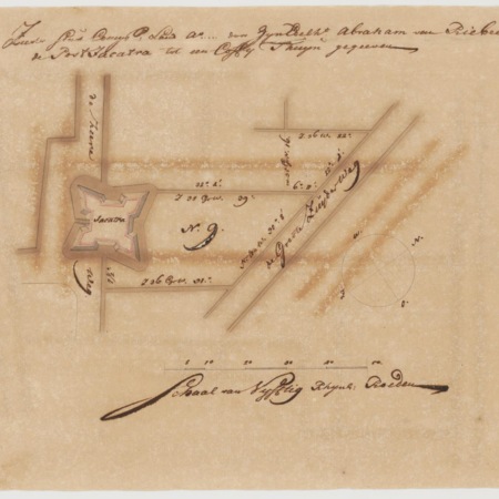
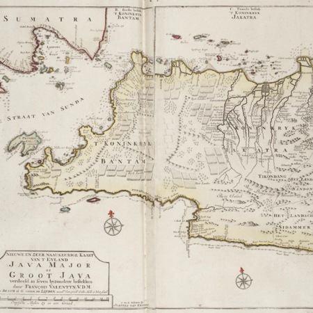
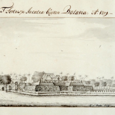
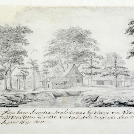
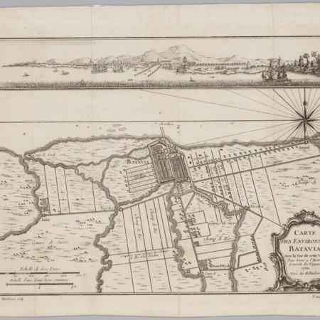
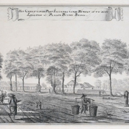
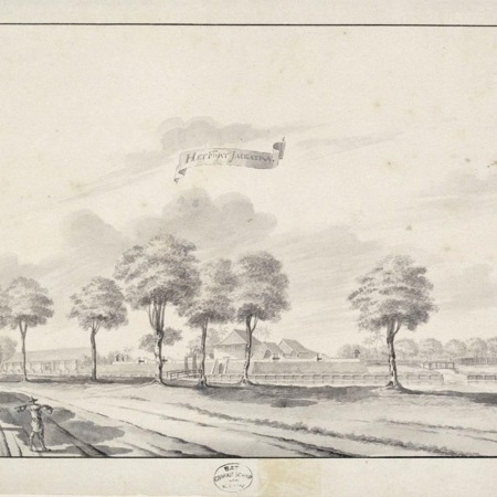
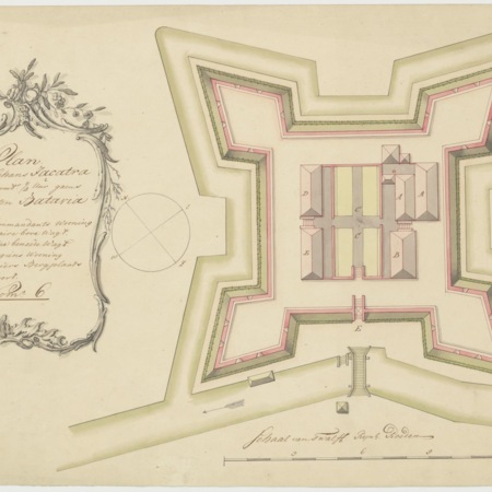
After the outbreak of war between Batavia and Bantam (Banten) the High Government decided to build several earthworks on 11 July 1656 . The schans (earthwork) Jacatra, which was designed by surveyor Johannes Listingh, lay on a strategic location at the Great River to the southeast of the city.
Around 1700 the earthwork was replaced with a stone fort with four bastions. In 1744, the garrison consisted of one officer, three or four sergeants, a surgeon, gunners and 25 to 36 soldiers. The fort was demolished in 1809 by order of Governor General Herman Willem Daendels (1808-1811).
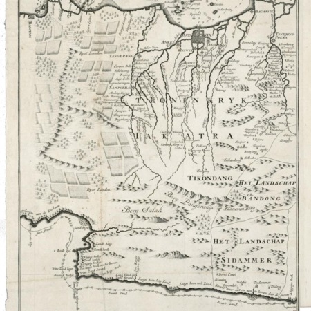
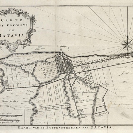
On the modern map of Jakarta the site of the fort would be located at Jalan Pisang Baru (East side of Gunung Sahari) near the intersection with Jalan Pangerrang Jayakarta. No visible remains survive.