The small fort Dieren was built in 1744 on the alluvial land East of the mouth of the Wester River (Moewara River, Pegantoengan, Kali Baroe ), which formed the connection between the Western city moat ofBatavia and the sea. The fort had to prevent smuggling over the river to the city. On the map by Reimer (1778) the fort and the mouth of the Wester River are 400 metres from the sea because of the river silting up. Fort Dieren is no longer visible on the map of Tency from 1797.
Images
-
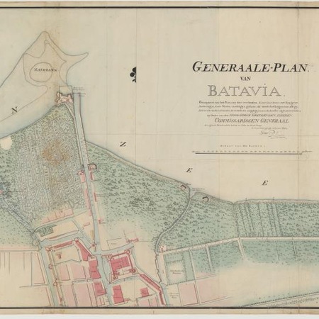
Map of Batavia and environs
Barbier, D. / Burgemeestre, W:m. O.
-
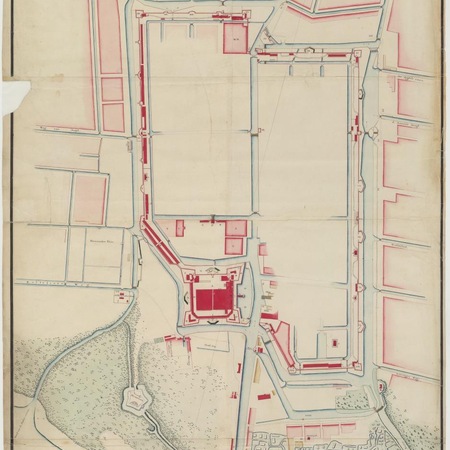
Map of the castle and city of Batavia
Gerlach, Johannes
-
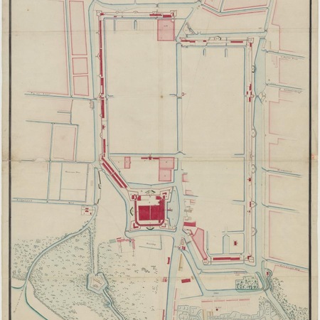
Map of the castle and city of Batavia
Reimer, Carl Friedrich / Maarschalk, A.
-
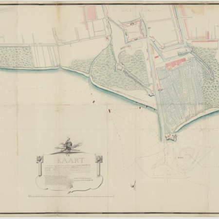
Map of Batavia and environs
Breda, Heymerd van
-
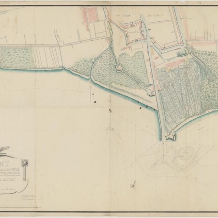
Map of the beaches to the west and east of the castle at Batavia
Reimer, Carl Friedrich / Burgemeestre, W:m. O.
-
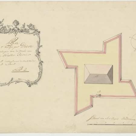
Map of the small fort of Dieren
Wagt, A. de