Featured
-
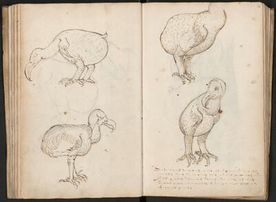
Sketches and drawings of dodo's
Laerle, Joris Joostensz.
-
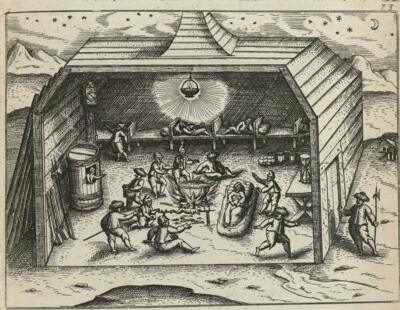
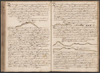
Interior of the Safe House, winter of 1596-1597
Veer, Gerrit de
-
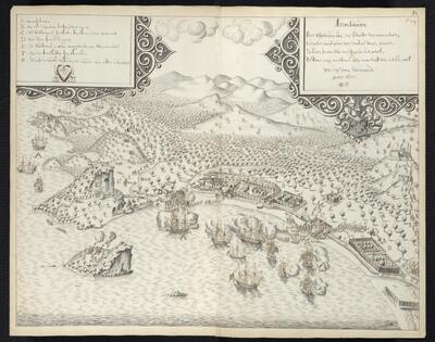
Attack on Asaudi, 29 July 1655
SvH
-
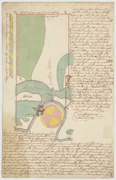
Map of the Vollenhove Plantation at the Para Creek
Freuytenier, Jan / Meester, Roeland de
-
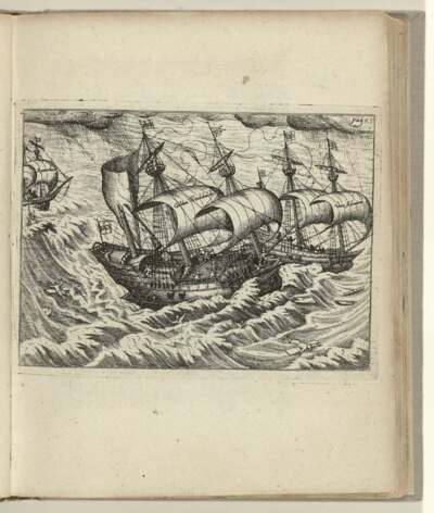
Collision between two ships, 6 August 1595
Veer, Gerrit de
-
Coastline profile of Karimunjawa and the Thousand Islands
Jolinck, Heyndrick Dircxz.
-
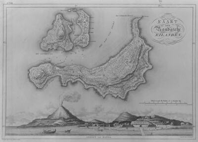
View of Banda and a map of Banda, Lonthor and Gunung Api
Zeelander, A.L.
-
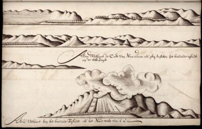
Coastline profile the island Karkar and the volcano Kunugui near New Guinea
Gilsemans, Isaac
-
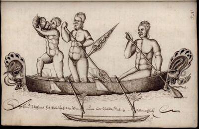
People of New Ireland seen by Abel Tasman
Gilsemans, Isaac
-
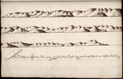
Coastline profile of New Ireland, Papua New Guinea
Gilsemans, Isaac
-
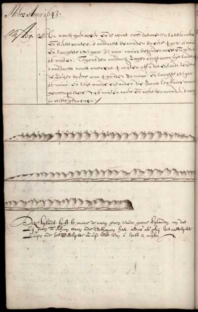
Coastline profiles of the Green Islands, Papua New Guinea
Gilsemans, Isaac
-
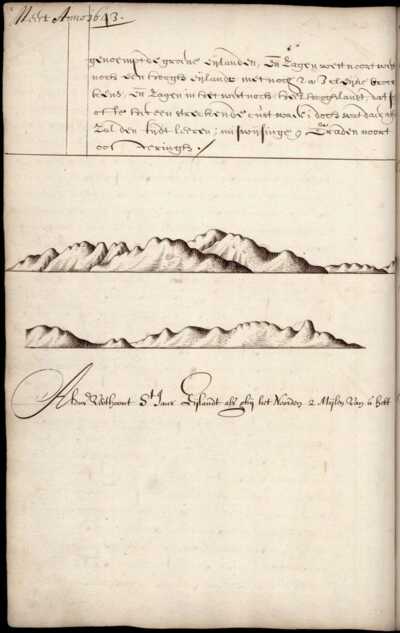
Coastline profile of St. Jan's Island (Ambitle Island)
Gilsemans, Isaac