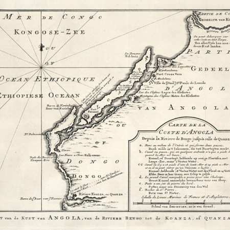
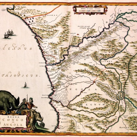
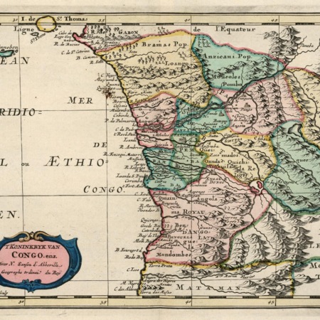
Between 1641 and 1648, the Dutch had succeeded in taking Luanda (the largest Portuguese slave depot of the African Coast) and the surrounding area from the Portuguese. Subsequently, the Dutch organized expeditions upriver, conquering or founding several settlements along the river Kwanza, including Cambamba.
At the mouth of the Cuanza river, i.e. slightly less than a hundred kilometers west of Cambamba, the Dutch turned an earlier small fortification into a full-fledged fort to defend the river mouth. The fort became known as fort Mols, named after one of the three directors of the area appointed by the West India Company.
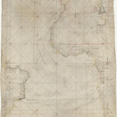
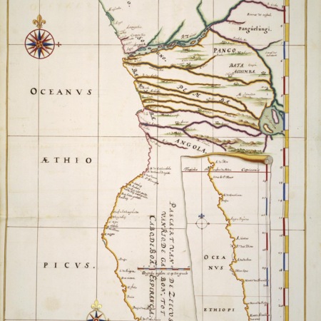
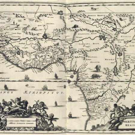
The island Ensadeira, where the Dutch met with Dutch resistance, was situated somewhere between the rivermouth and Cambamba; quite probably, it is the island which Blaeu maps of the region call 'Masander'. In his description of Africa, Olfert Dapper mentions the island as being 9 leagues (some 50 kilometers) upriver from the coast, and being some four leagues long and half a league wide, and predominantly producing maniok (cassava).